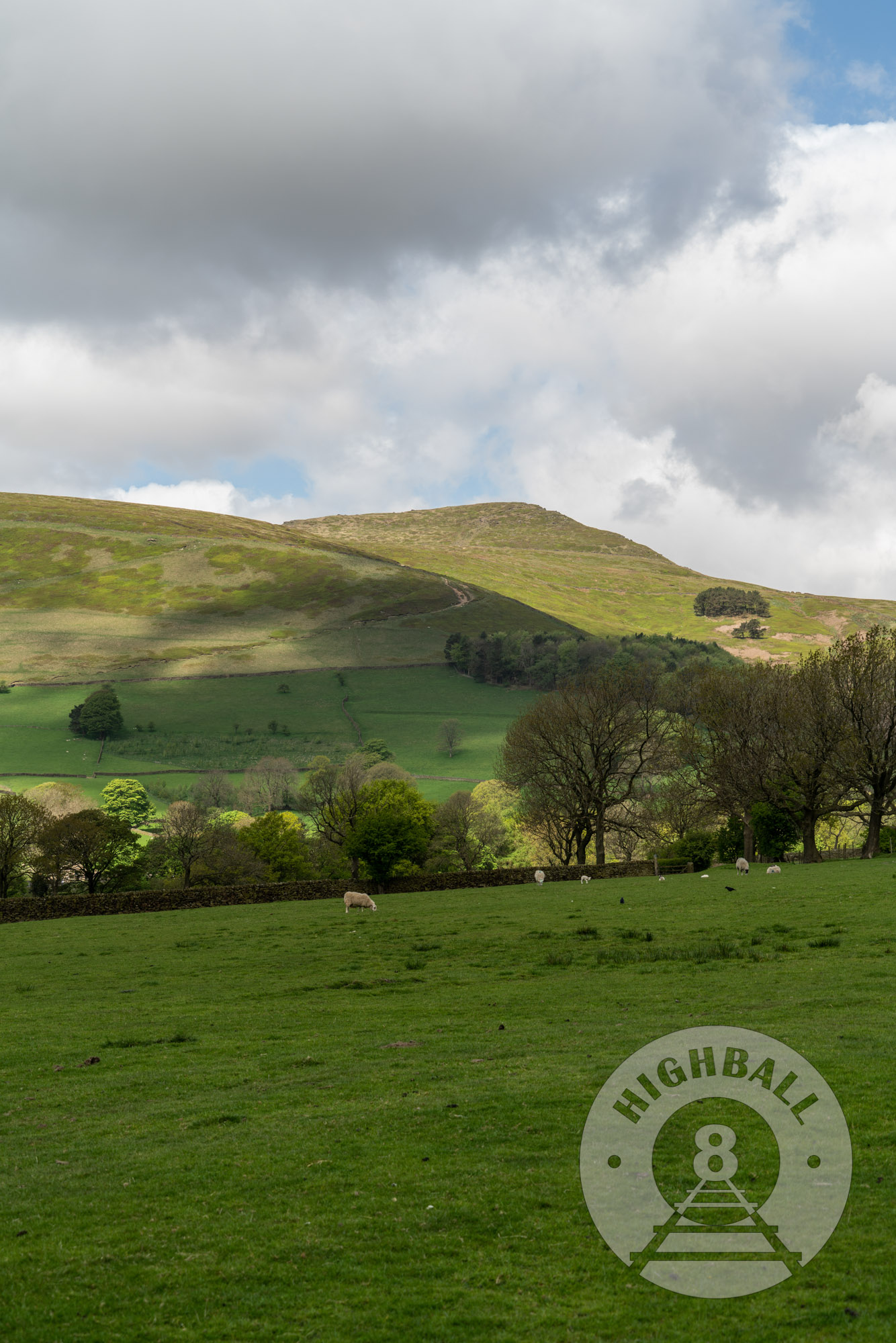
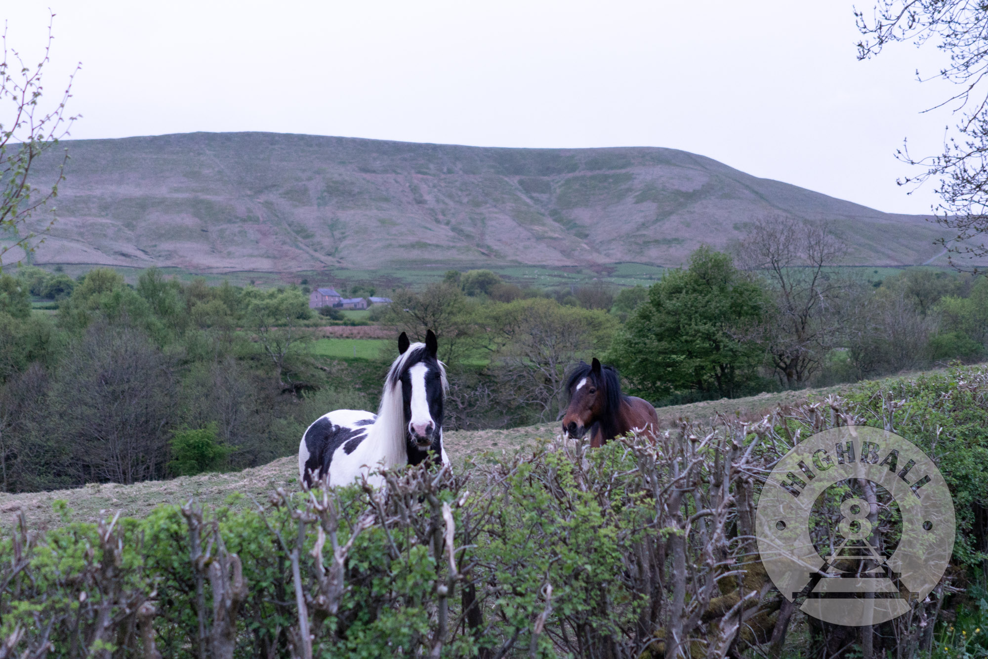
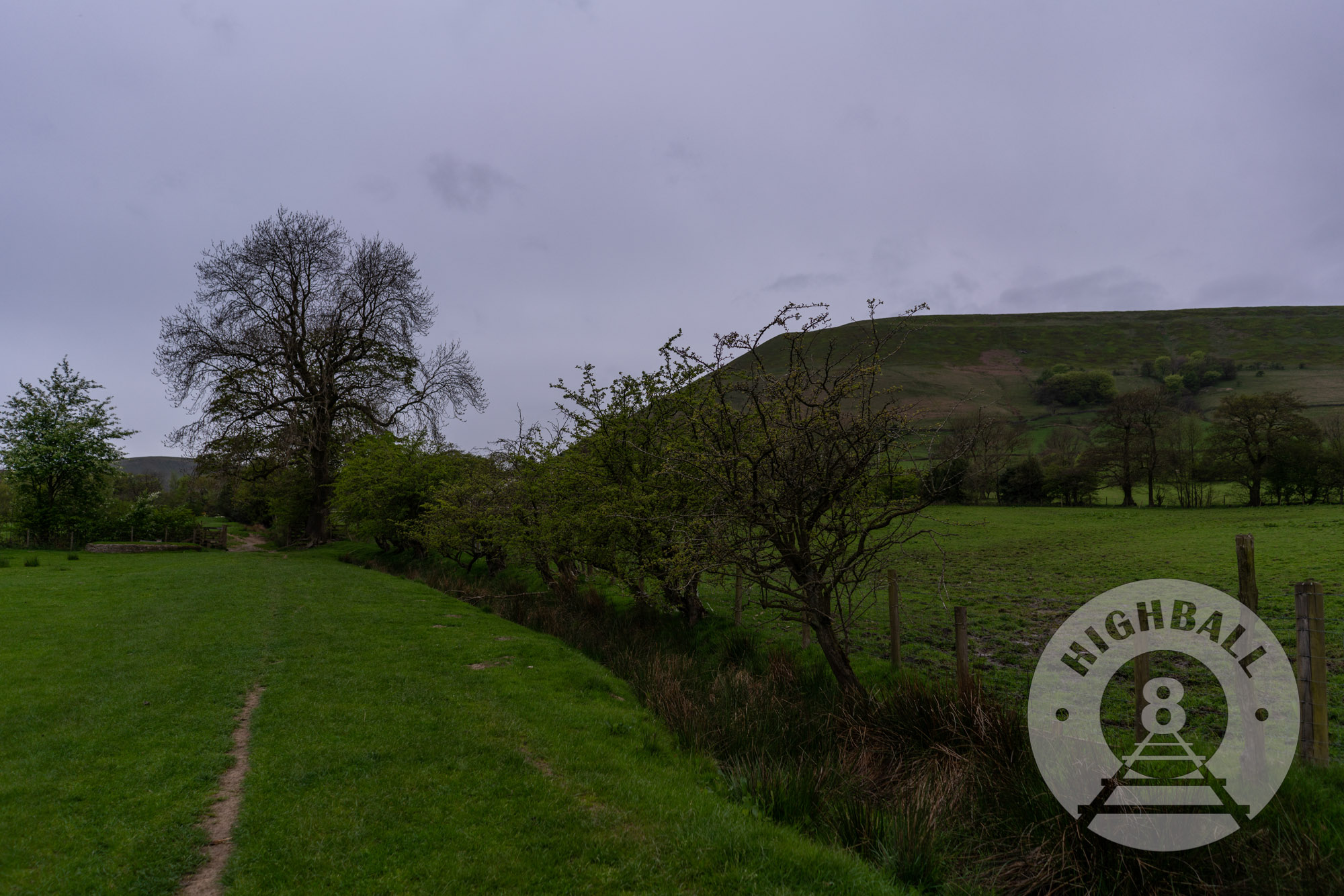
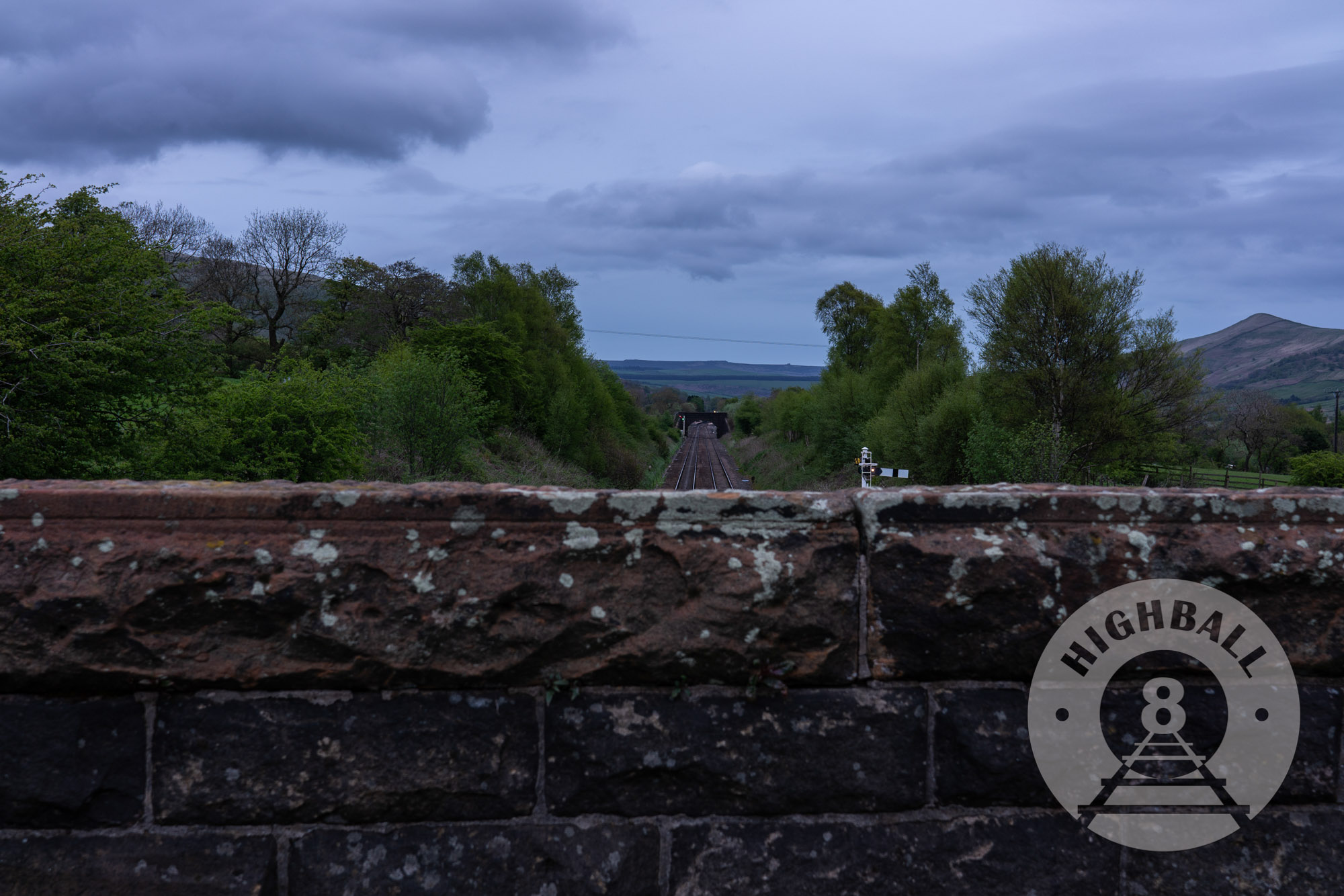
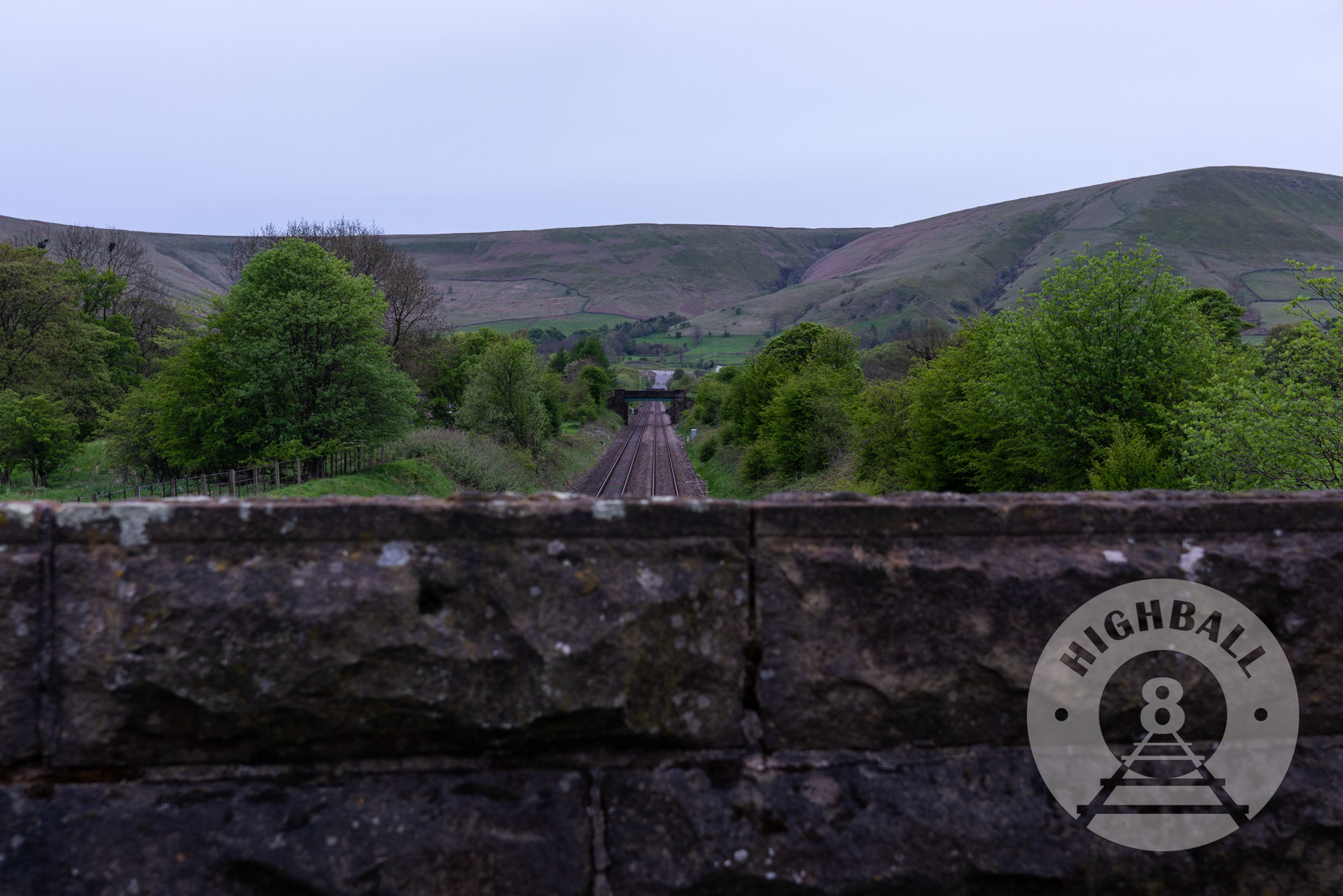
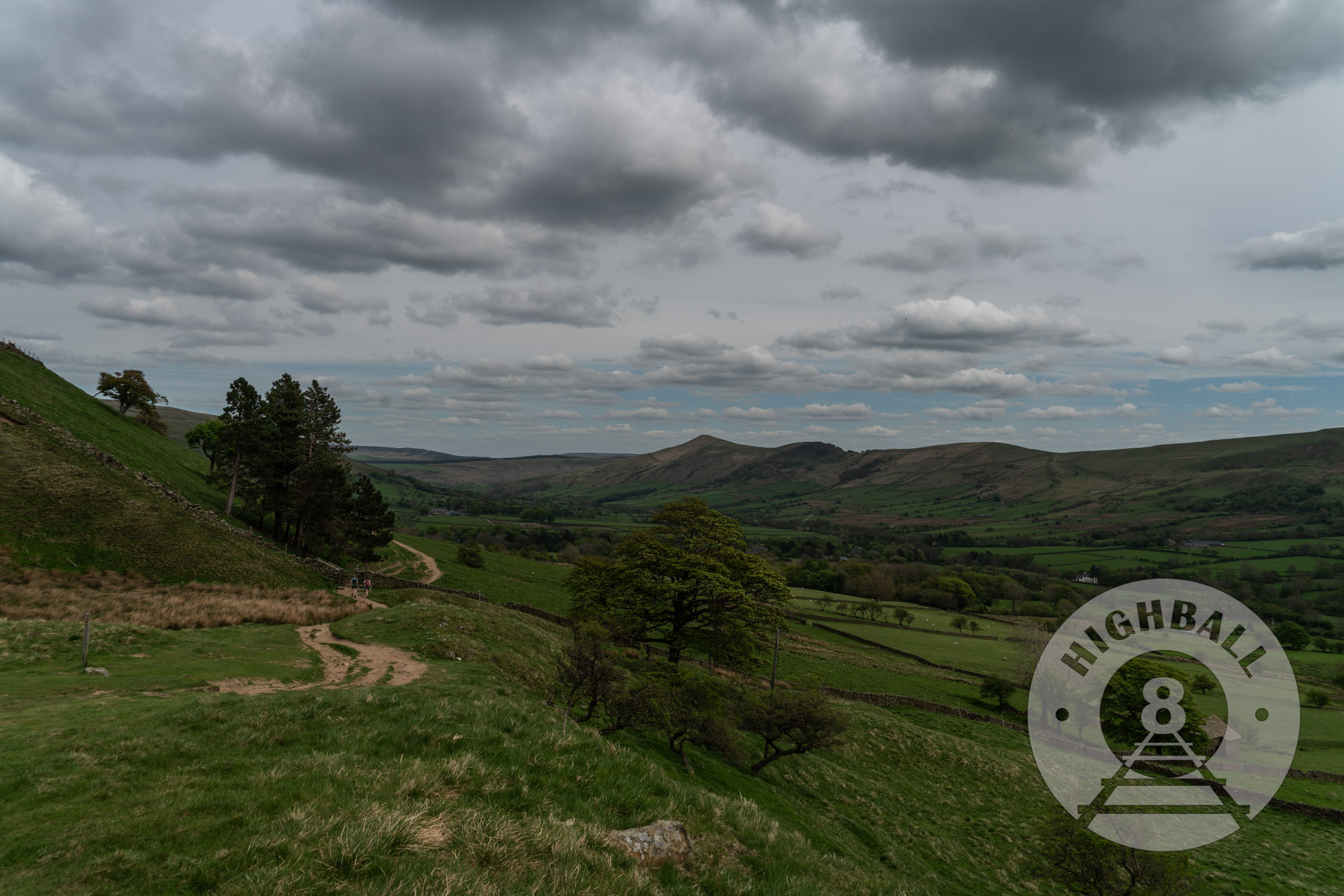
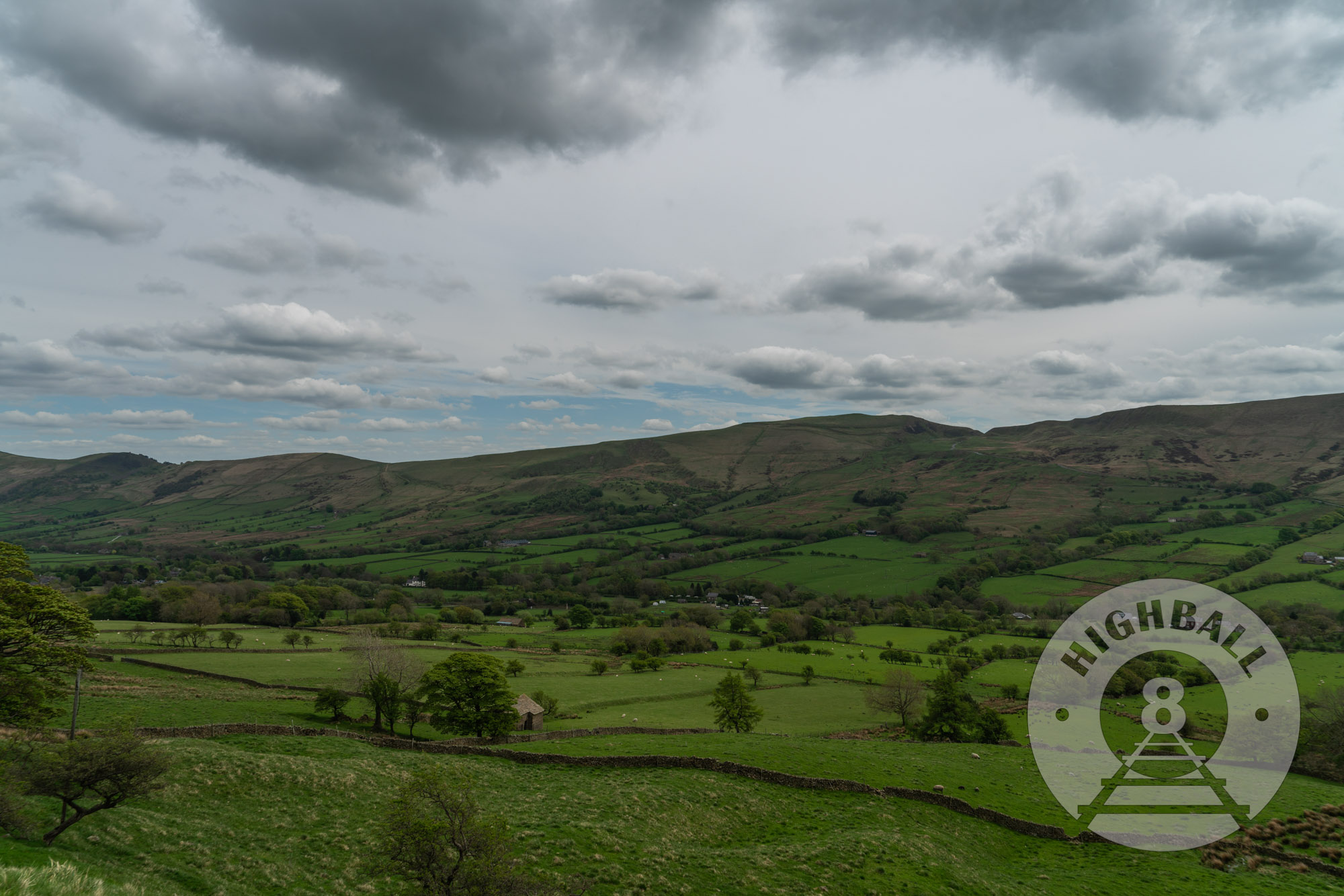
The Peak District, located primarily in Derbyshire County, northern England, halfway between Manchester and Sheffield, is one of the UK’s top destinations for outdoor activities, scenery, and walking. I first visited the Peak District in August 2000, when my father and I took the train from Manchester to Dove Holes and walked north towards Bradwell, and the next day walked to Bakewell (home of the famous Bakewell Tart), carrying our luggage in backpacks and staying at bed and breakfasts.
My girlfriend and I were planning a spring 2018 trip to the UK that would include Manchester when I started looking at Google Maps, trying to retrace the route my father and I took, but as I looked at where the well-known walks were, where there might be affordable accommodation, and, most importantly, how close these walks were to a train station, I kept coming back to the beginning (or end) of the Pennine Way in Edale, Derbyshire. Famous Peak District sites like Kinder Scout, Jacob’s Ladder, and Mam Tor are all easily accessible from Edale station. I originally thought of a walk in the Peak District as a day-trip from Manchester, but then I noticed The Rambler Inn was very close to the Edale station, was affordable, and had great reviews. I hit them up on Facebook and after they confirmed that we could leave our luggage there immediately after getting off the train, I booked a room.
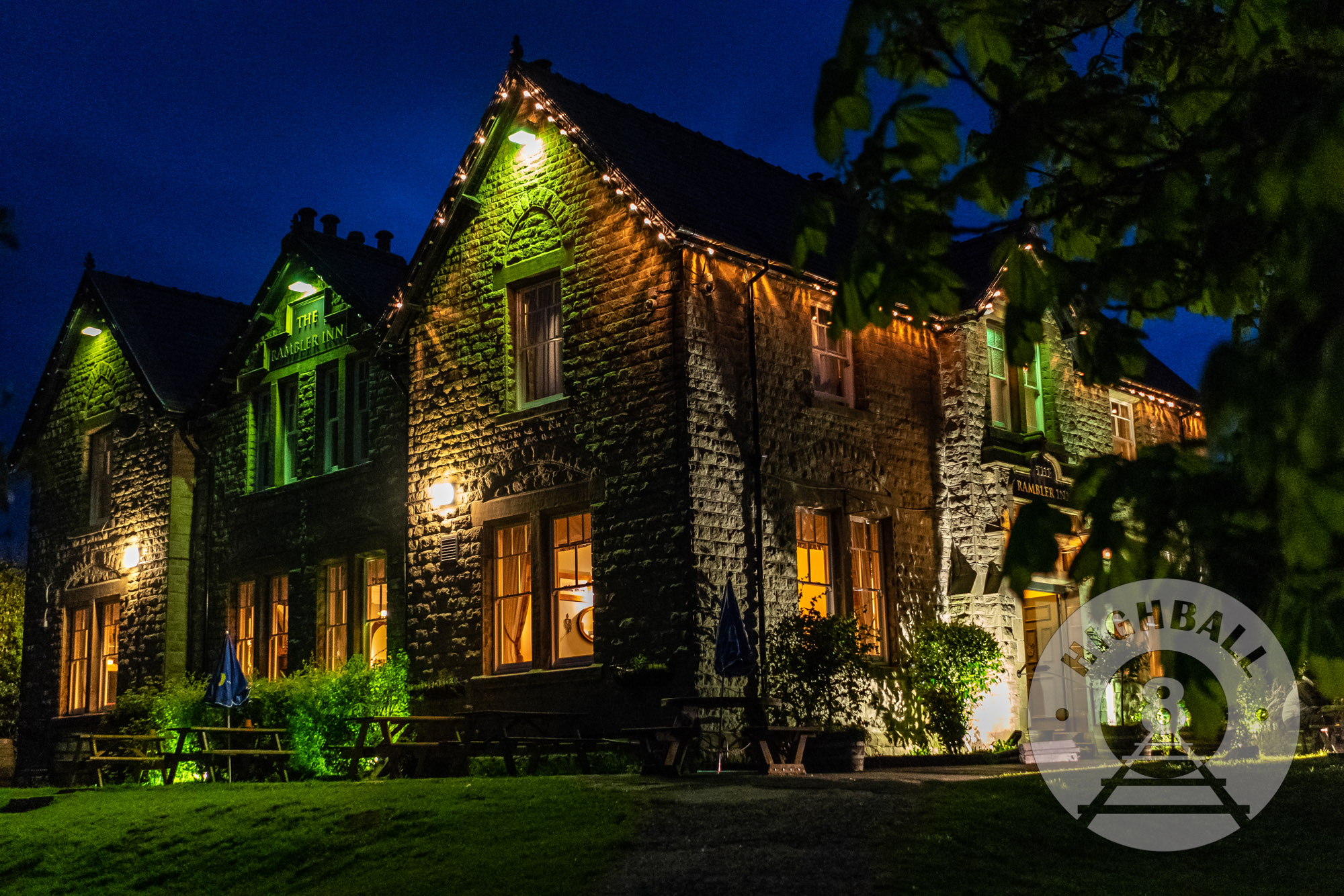
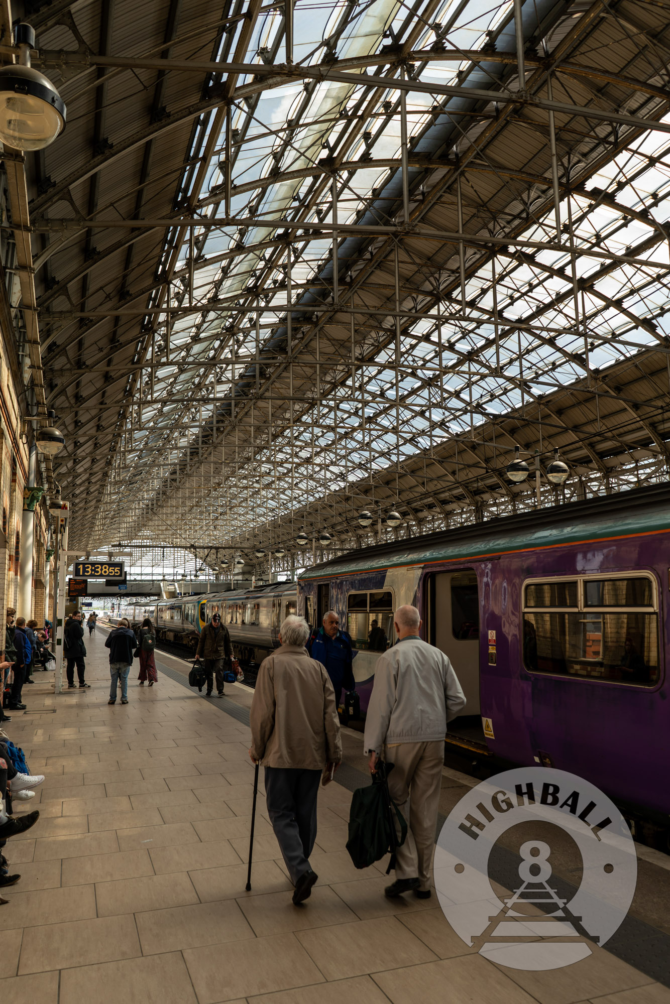
We arrived at Edale from Manchester on a Wednesday morning in early May 2018. Northern, the franchise that services the Hope Valley Line, had a strike action on this particular day, but we had no problem getting a train operated by East Midlands Trains out of Manchester Piccadilly, which took a faster route with fewer stops. The Rambler Inn is right next to the station, and it turned out our room was already ready for us at noon. After dropping our stuff off we started up the country lane towards the Pennine Way and Kinder Scout just before 1300.
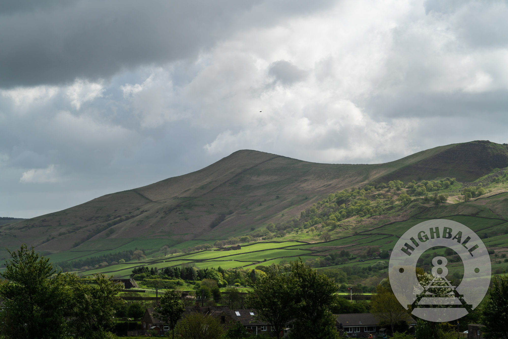
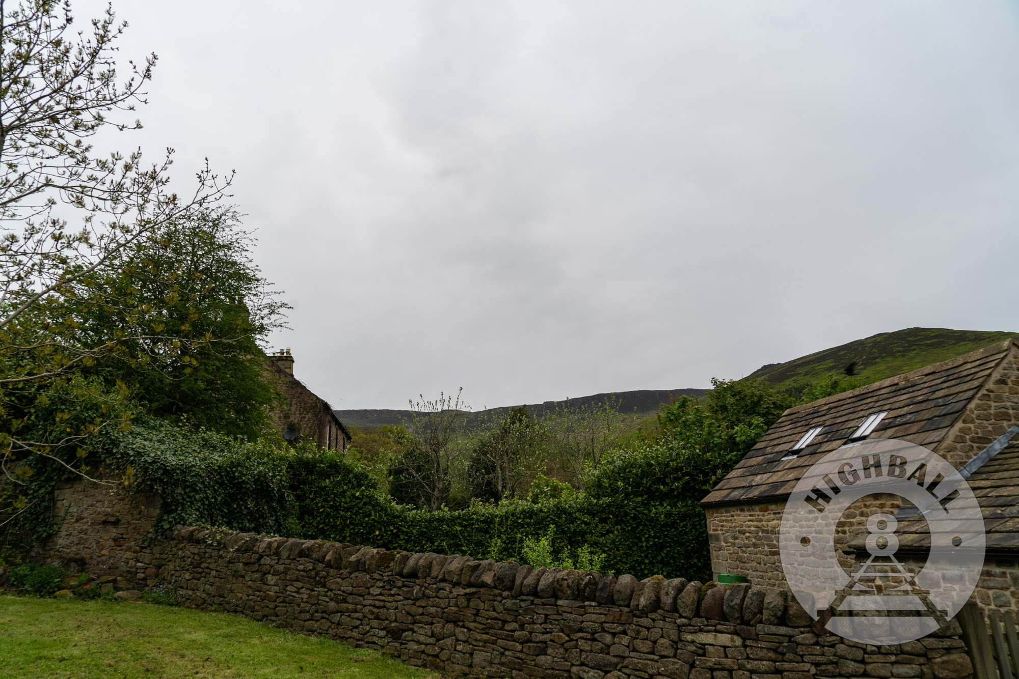
From Edale station and The Rambler Inn, it’s a few hundred yards up the road past a number of businesses that seem to focus around the region’s reputation as an outdoor destination, the Holy & Undivided Trinity churchyard, and The Old Nag’s Head, another village pub with accommodation available that sits immediately across the road from the start of the Pennine Way.
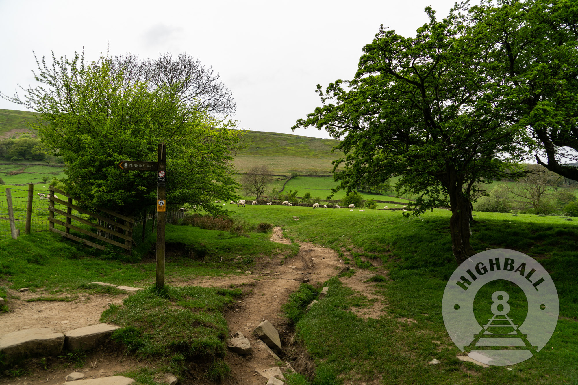
It was an overcast day, our first since arriving in England, but it was still quite warm for the region and time of year and plenty of people were out walking. I was navigating with an Ordnance Survey map I had purchased at a Waterstones in Manchester but it was very large and unwieldy, especially in the wind, and I had to crush it and refold it to make it easier to use. Our route took us west along the foot of the valley, up Jacob’s Ladder on to Kinder Scout, and then east along the southern edge of the moor back towards Edale; it is almost identical to this walk on the National’s Trust’s website.
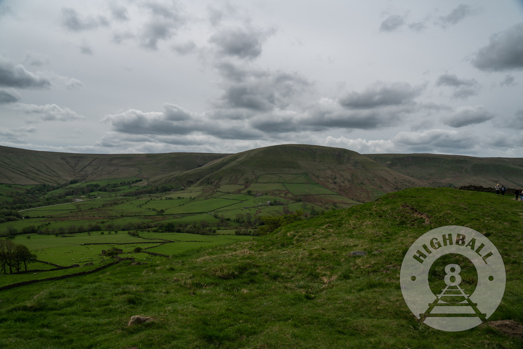
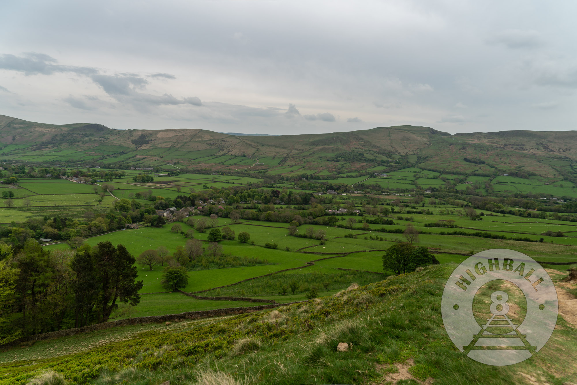
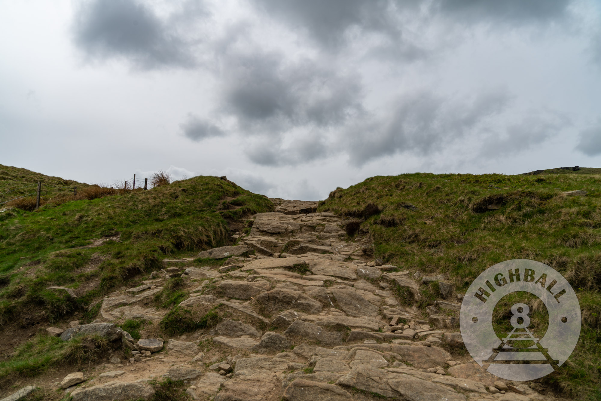
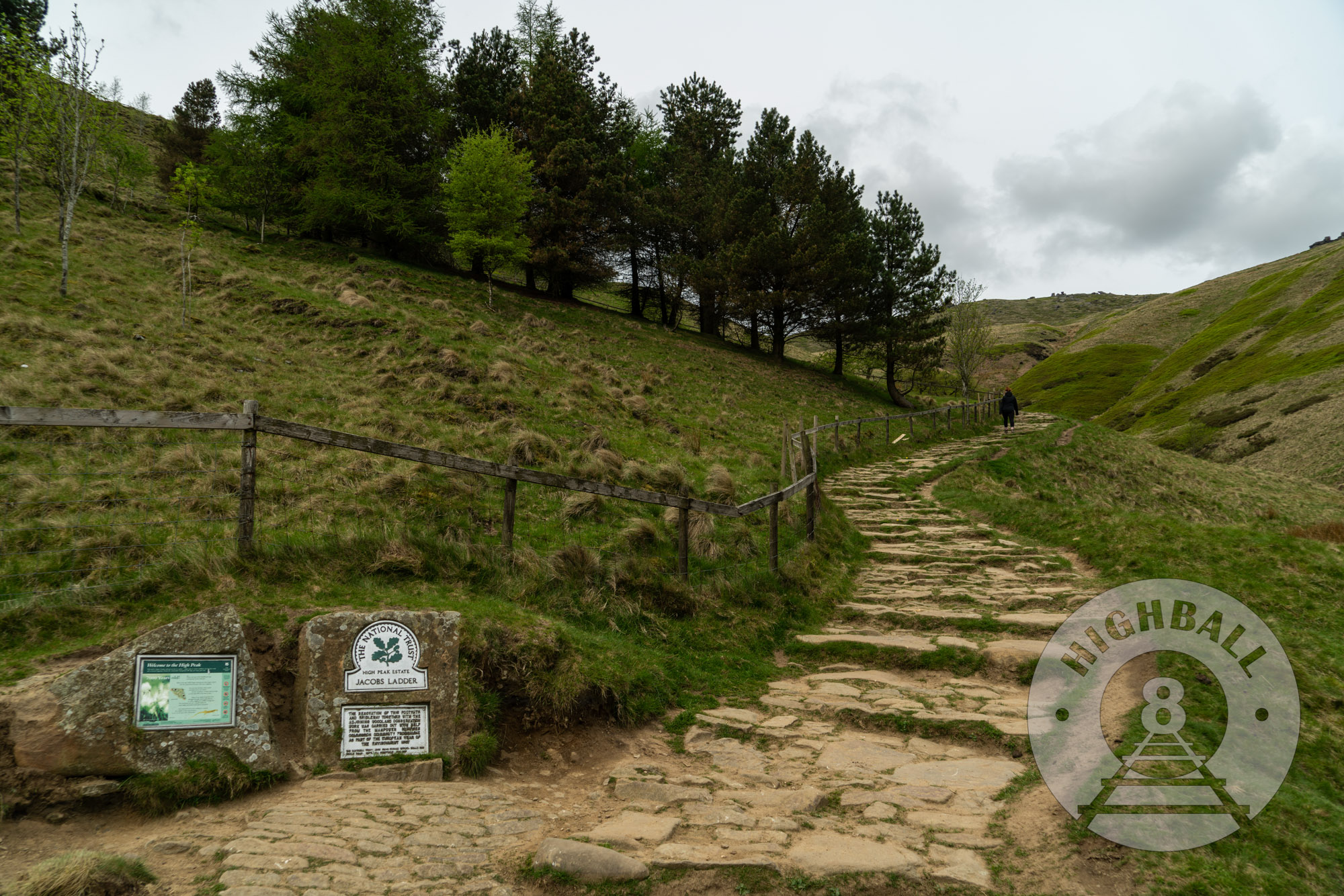
Despite the map difficulties, navigating the Pennine Way was pretty easy, especially with many fellow ramblers heading towards us. We arrived at the foot of Jacob’s Ladder in just over an hour. The walk up Jacob’s Ladder is sharp and steep, but it’s also short and the views distract you from the exertion.
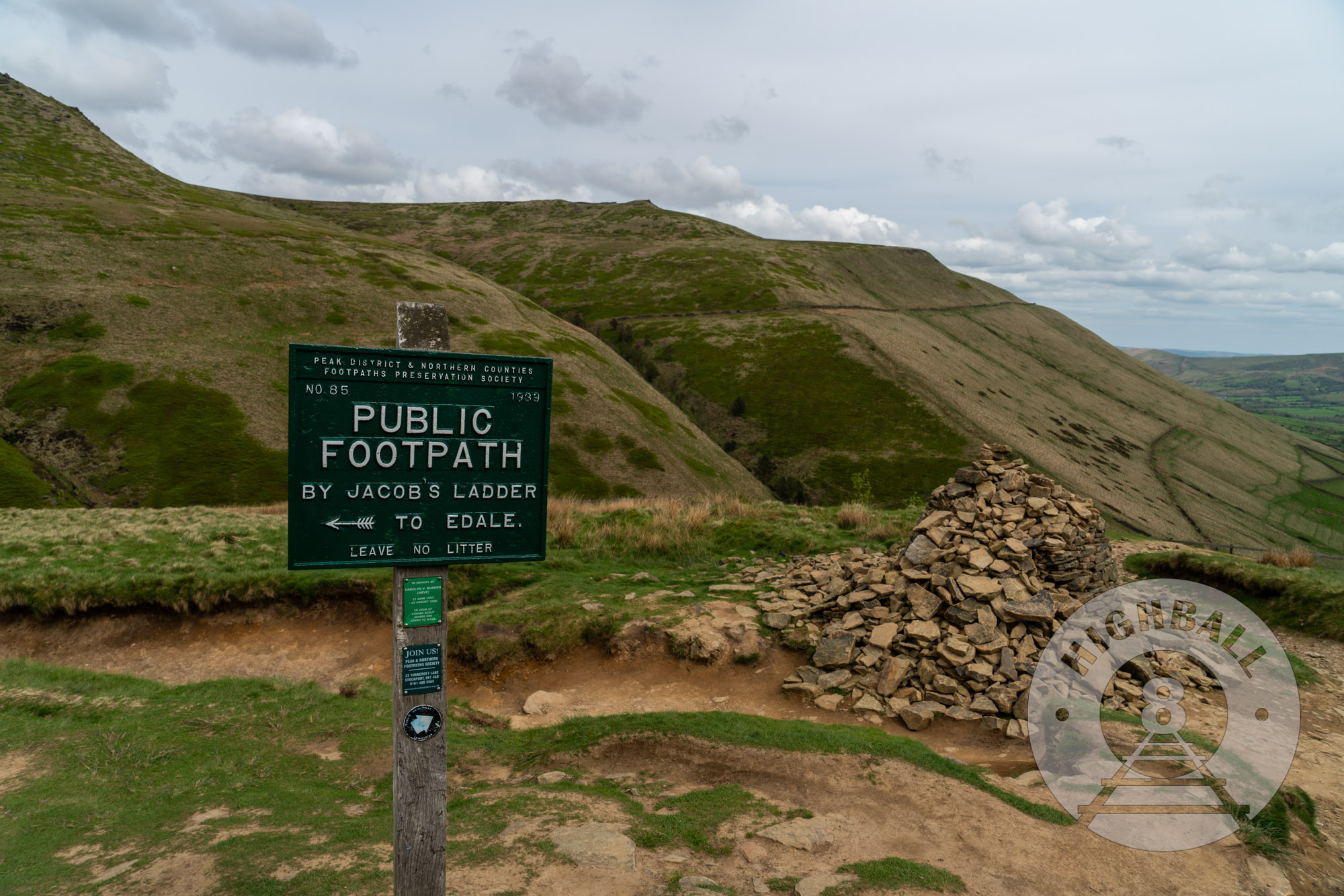
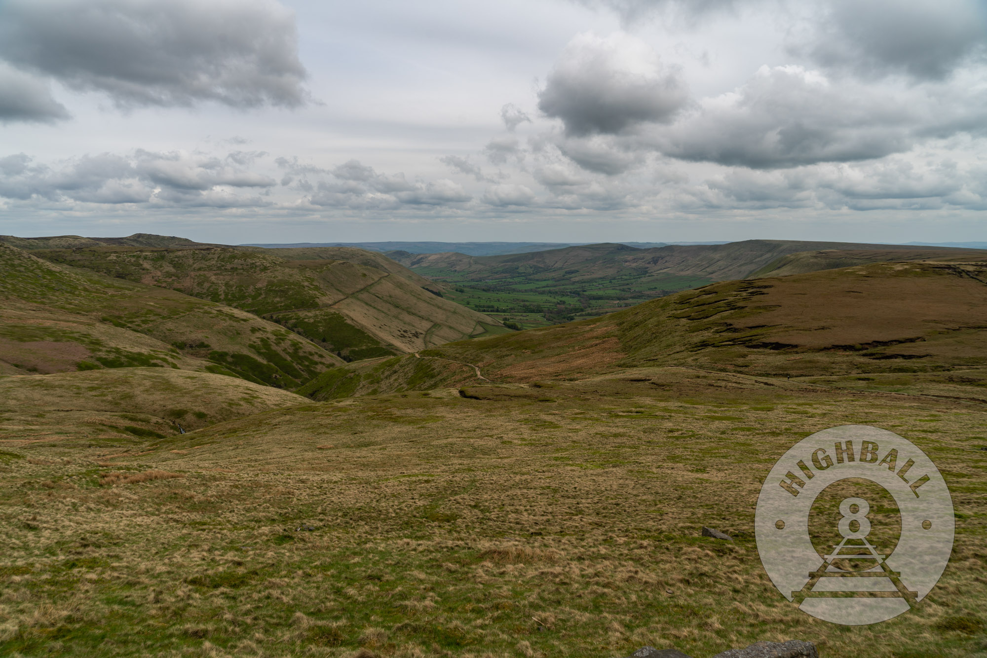
We followed the Pennine Way around the crest of the elevation and onto Kinder Scout proper, looking east down into Hope Valley. We turned off of the Pennine Way to follow another public footpath along the southern edge of Kinder Scout, heading east back towards Edale, and passing the well-known rock formations Noe Stool, Pym Chair, and Crowden Tower.
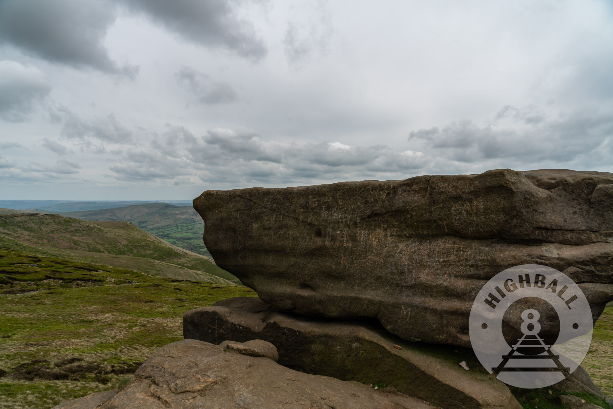
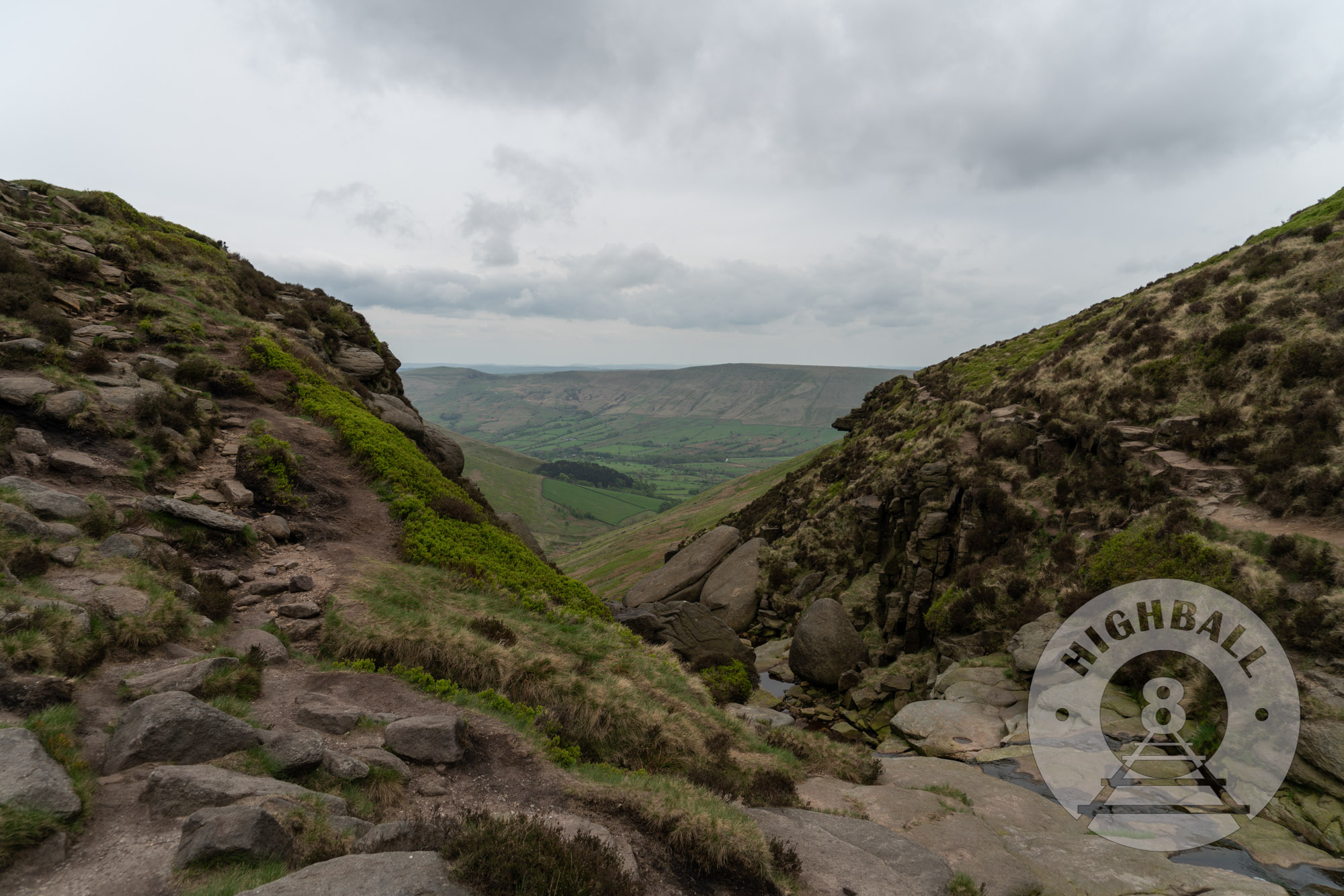
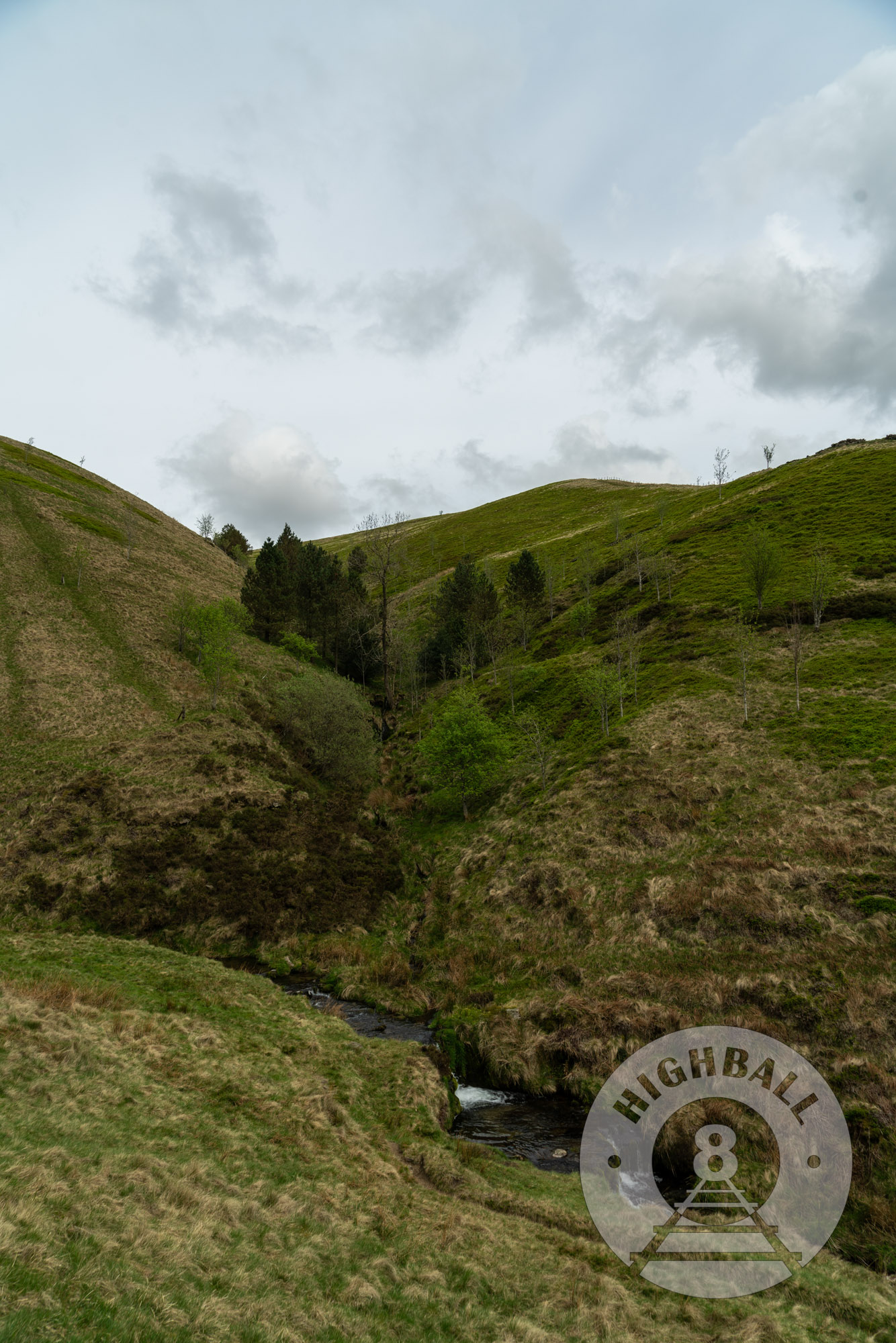
By this time it was around 1530, and since it was later in the day, we stopped seeing people coming from the other direction. At times the footpath is narrow and rocky and you need to watch where you put your feet. In various places spots where the moorland grass and the peat underneath it had eroded or otherwise been removed, and we saw efforts to restore it. Soon after crossing Crowden Brook, we must have taken an option off of the main route, because instead of heading down a more prominent footpath that had a gentle descent along Grinds Brook, we stayed along the southern edge of Kinder Scout, looking down into the valley. We were on a well-worn public footpath, with very recent footprints and flagstone paving in places, both of which suggested to me that we were on the right path. After consulting the map some more and using the compass a bit I determined that we were on one of the highest points of Kinder Scout, Grindslow Knoll. We were now over 600 meters above sea level (we started at about 250 meters). We were close to Edale, but we had to carefully negotiate a very, very (very) steep descent of narrow paths down to the foot of the elevation where we rejoined the Pennine Way. The whole walk was just about four hours, plenty of time to get back to The Rambler Inn and clean up before dinner.
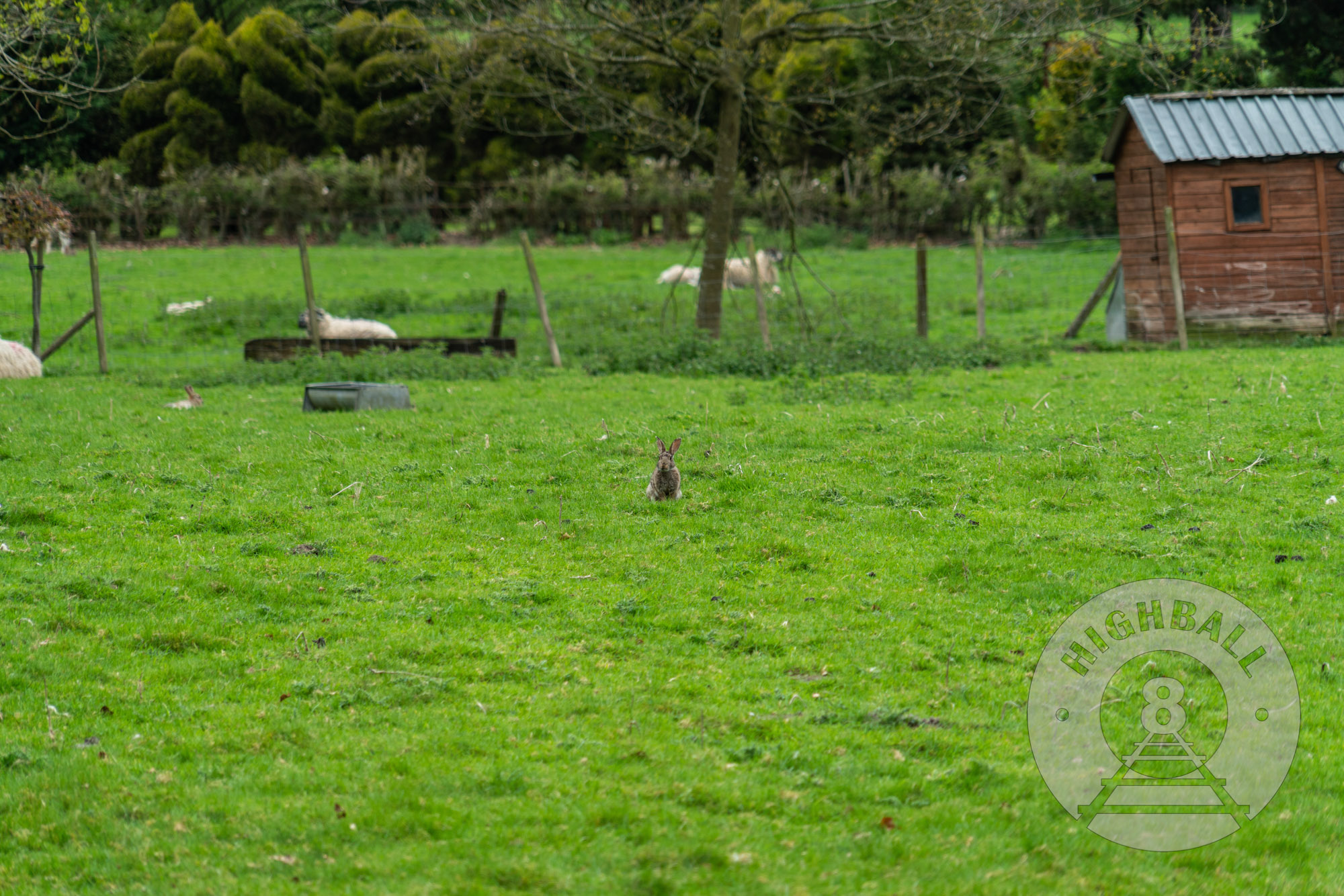
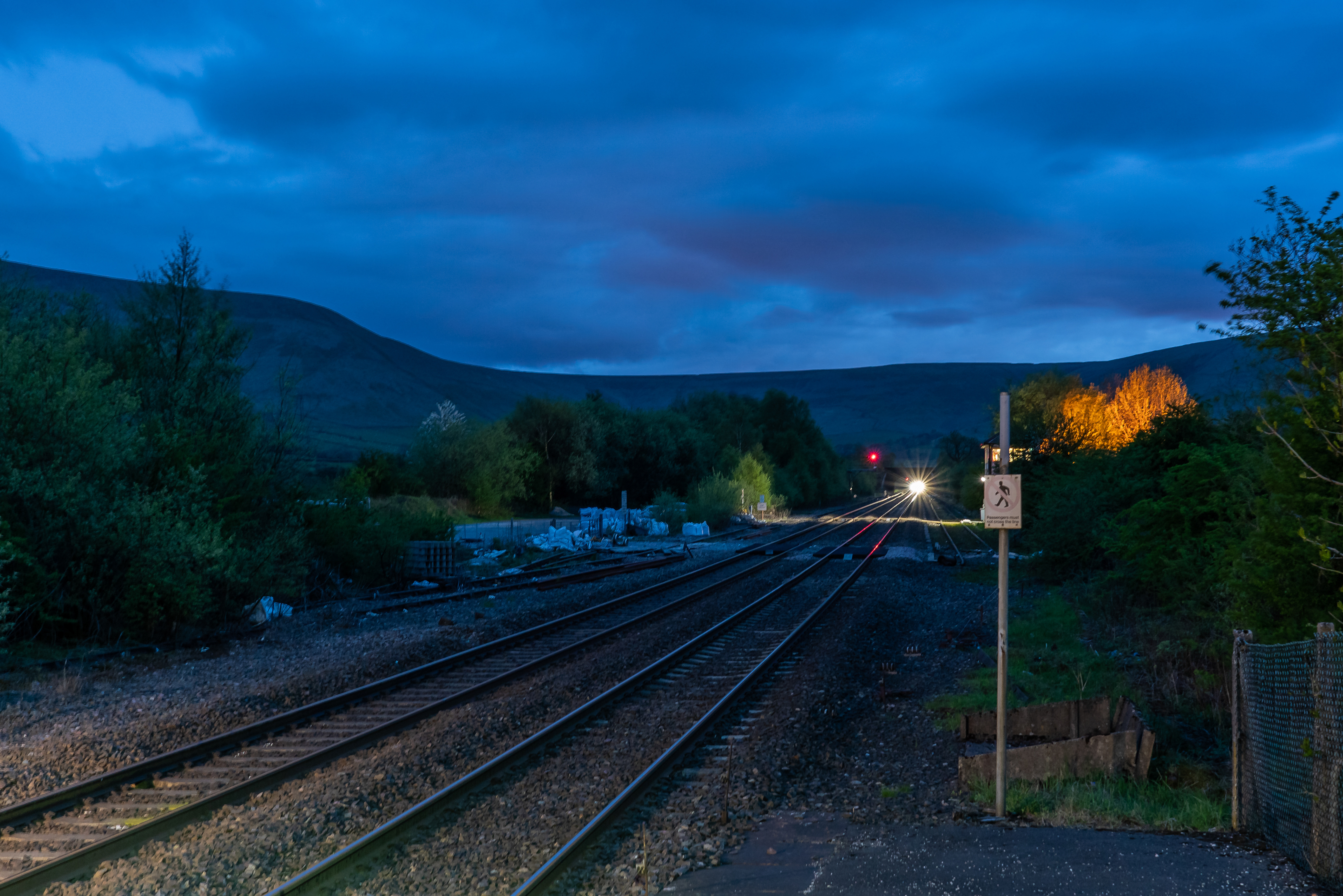
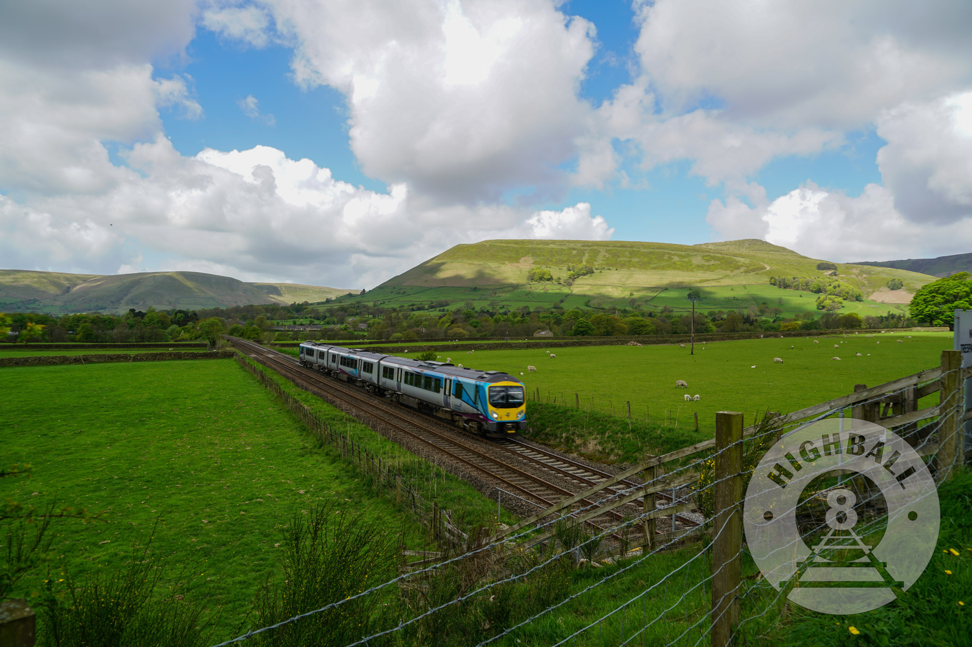
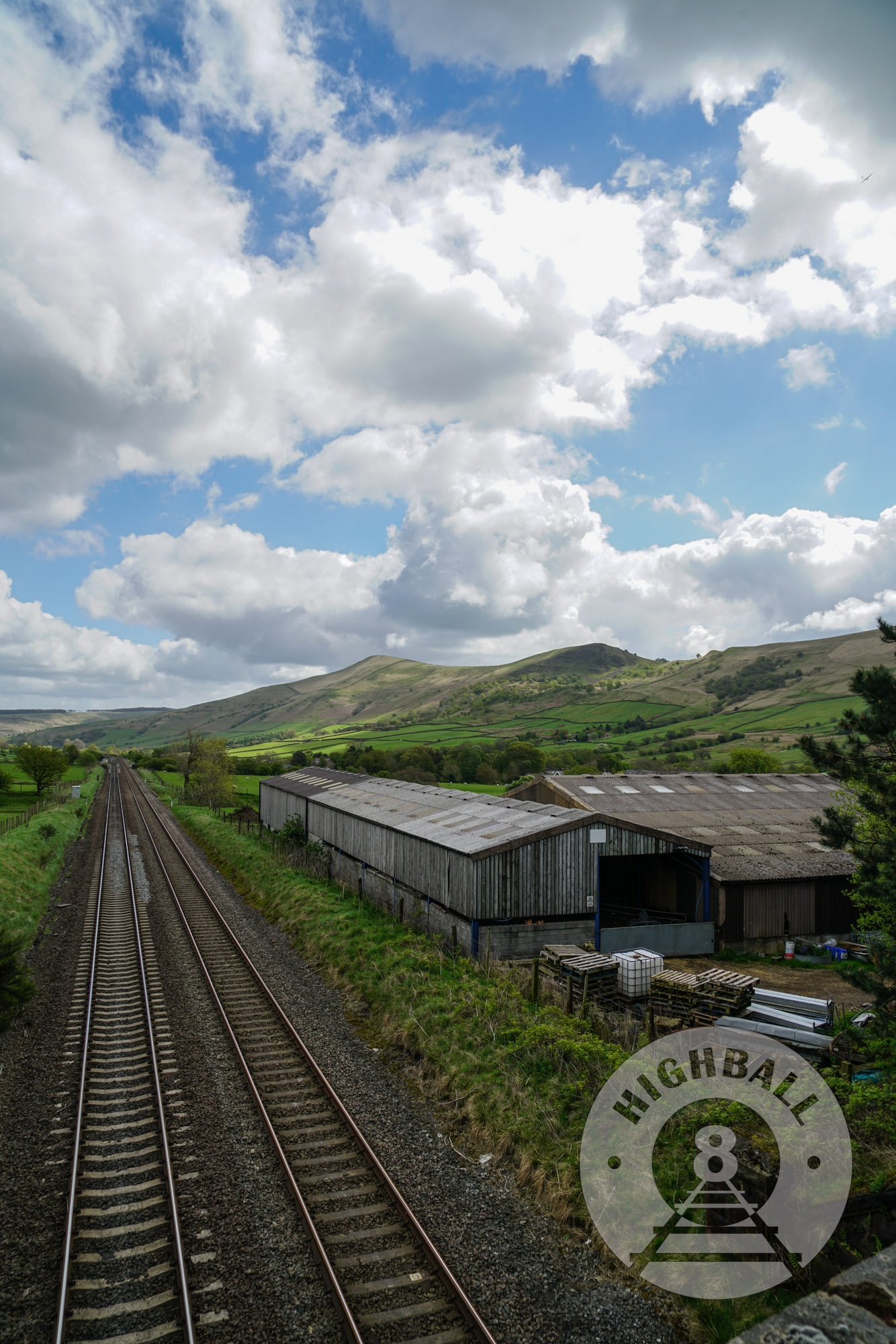
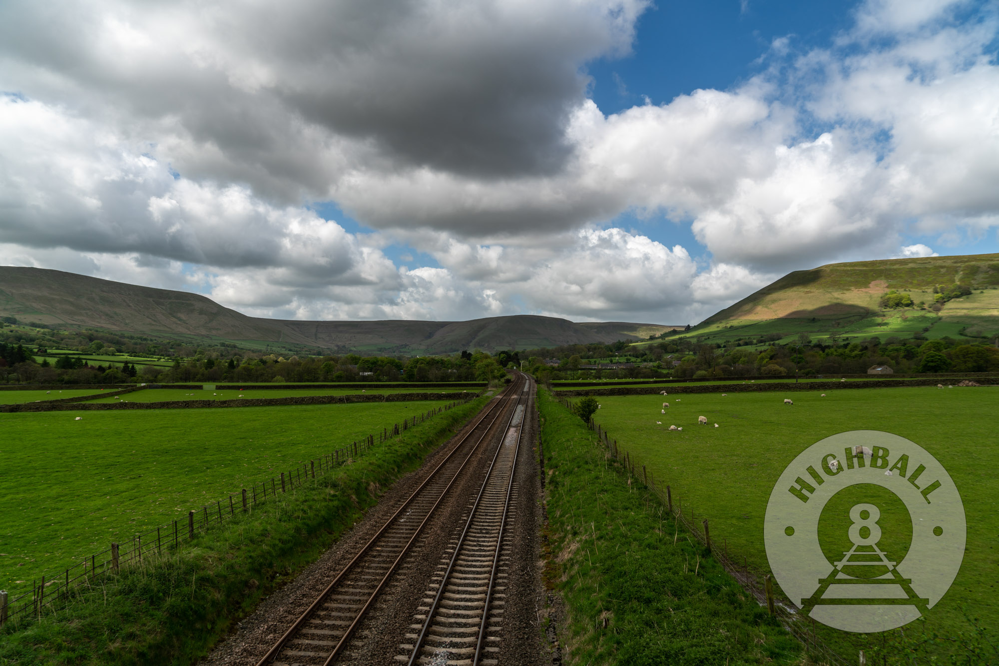
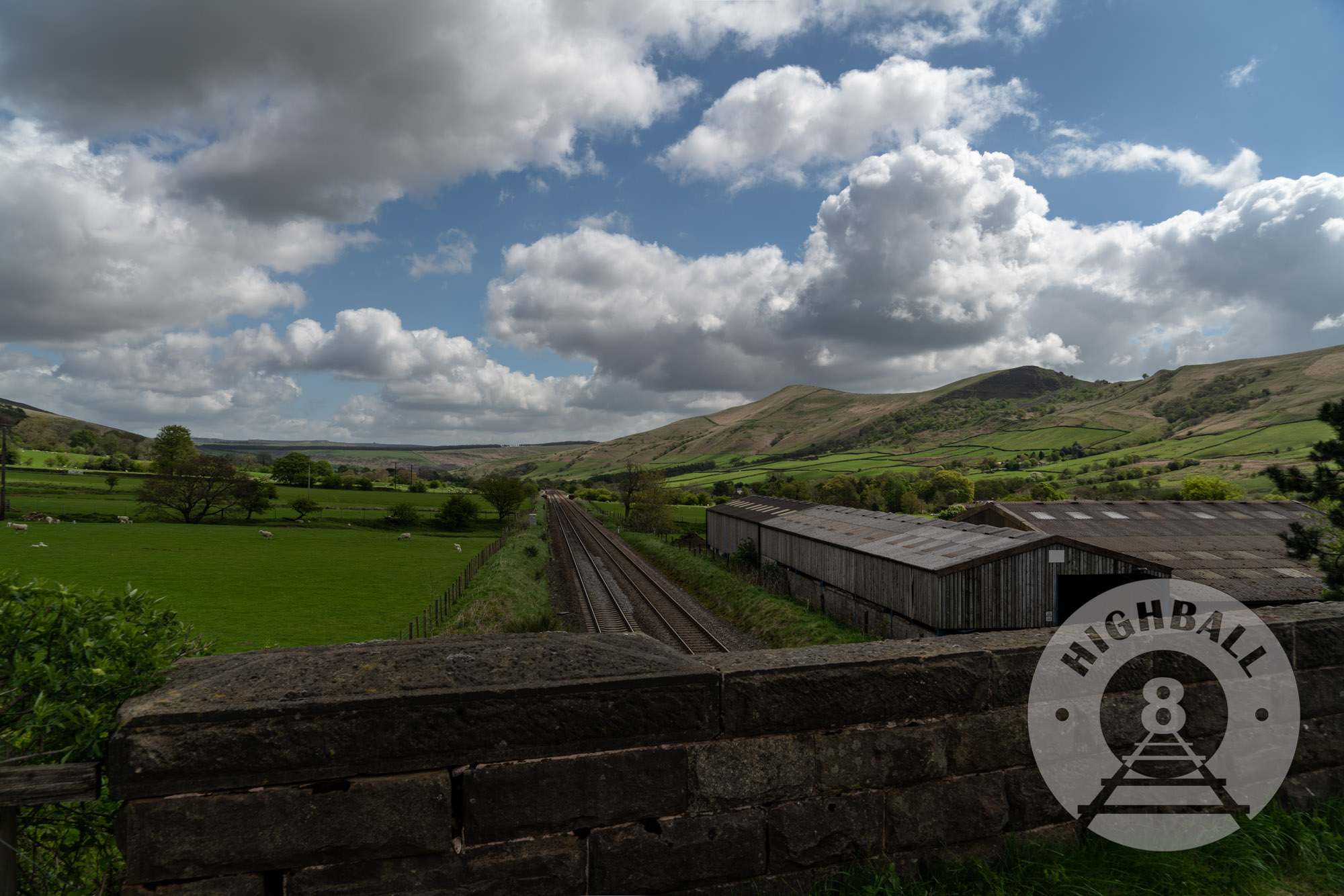
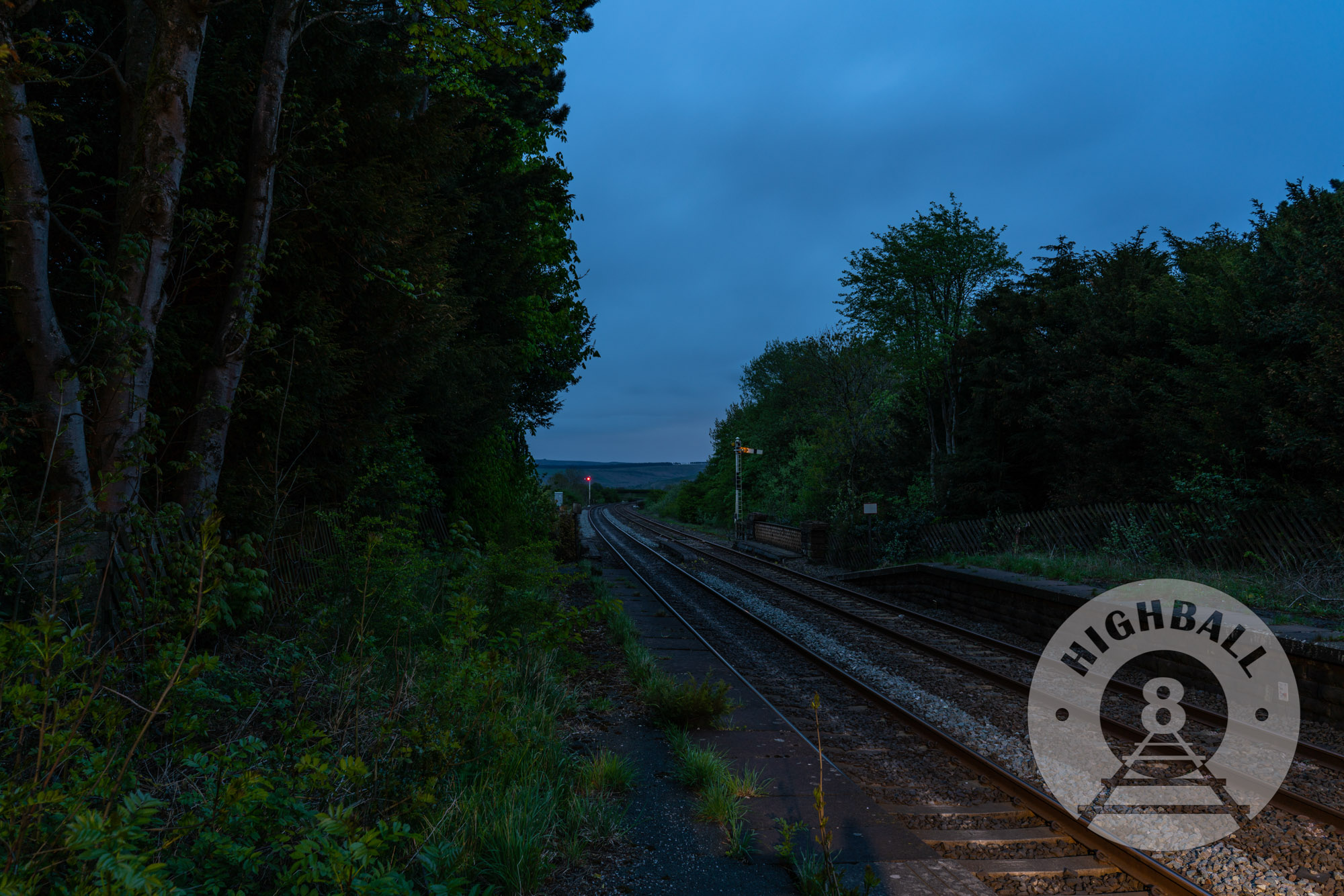
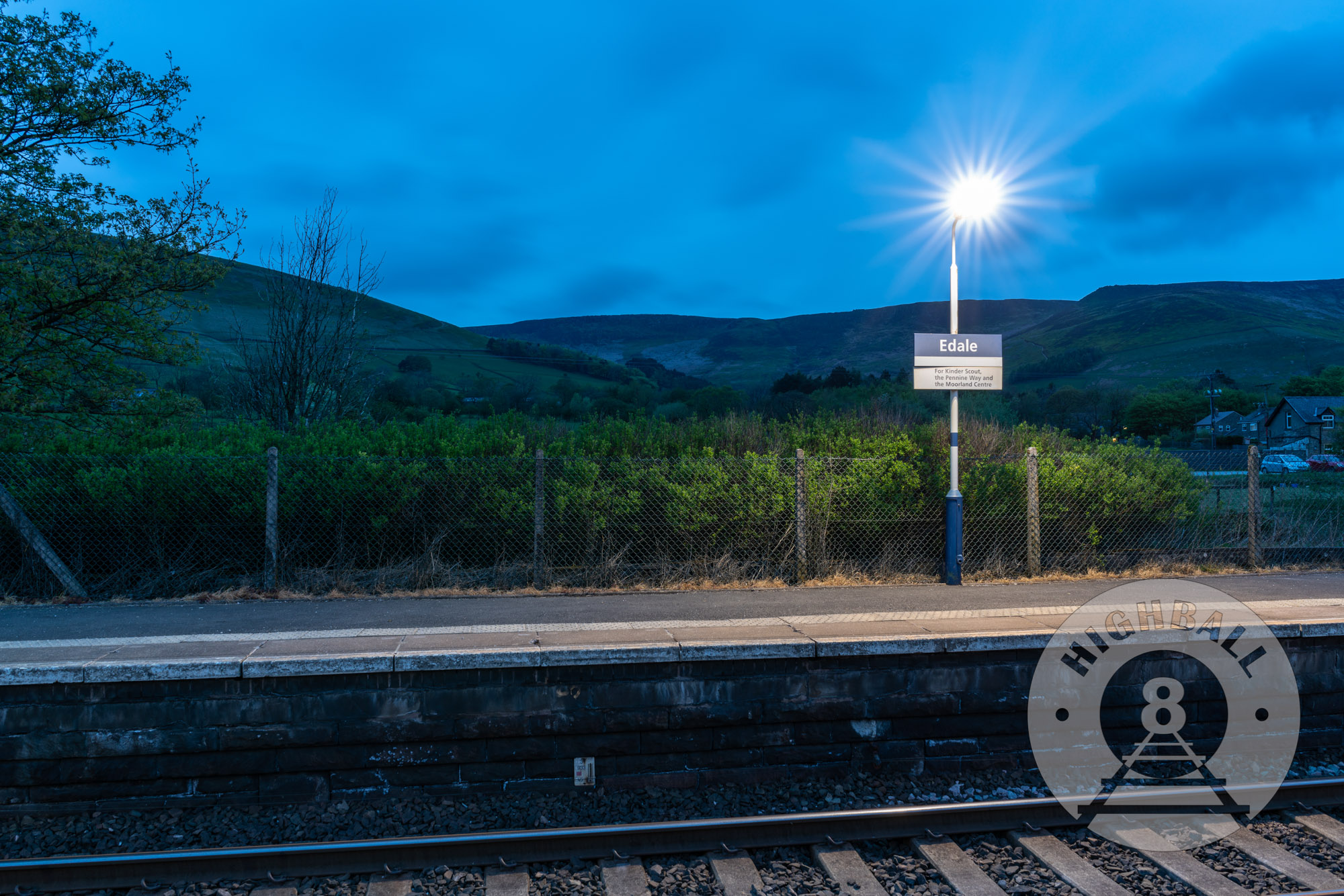
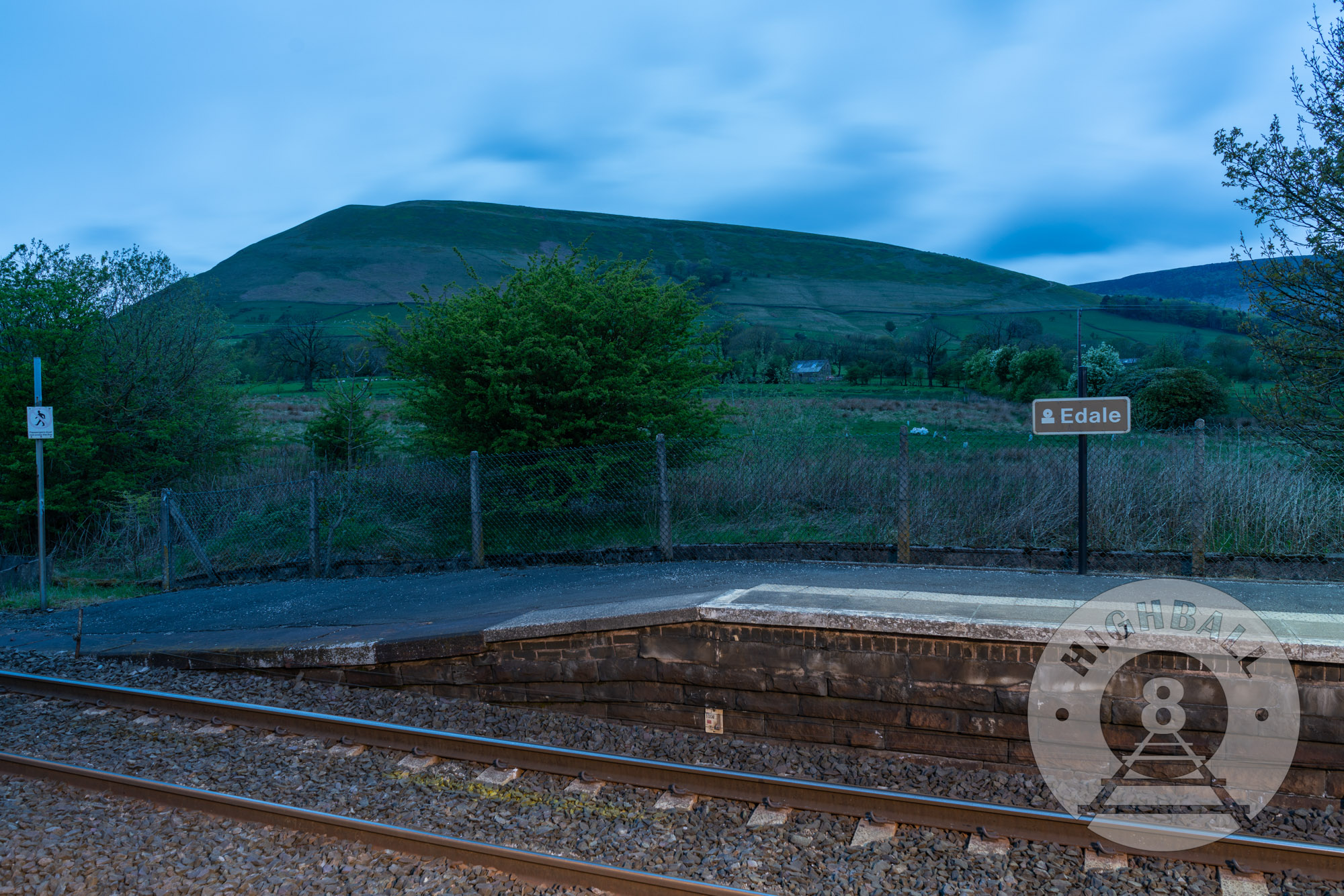
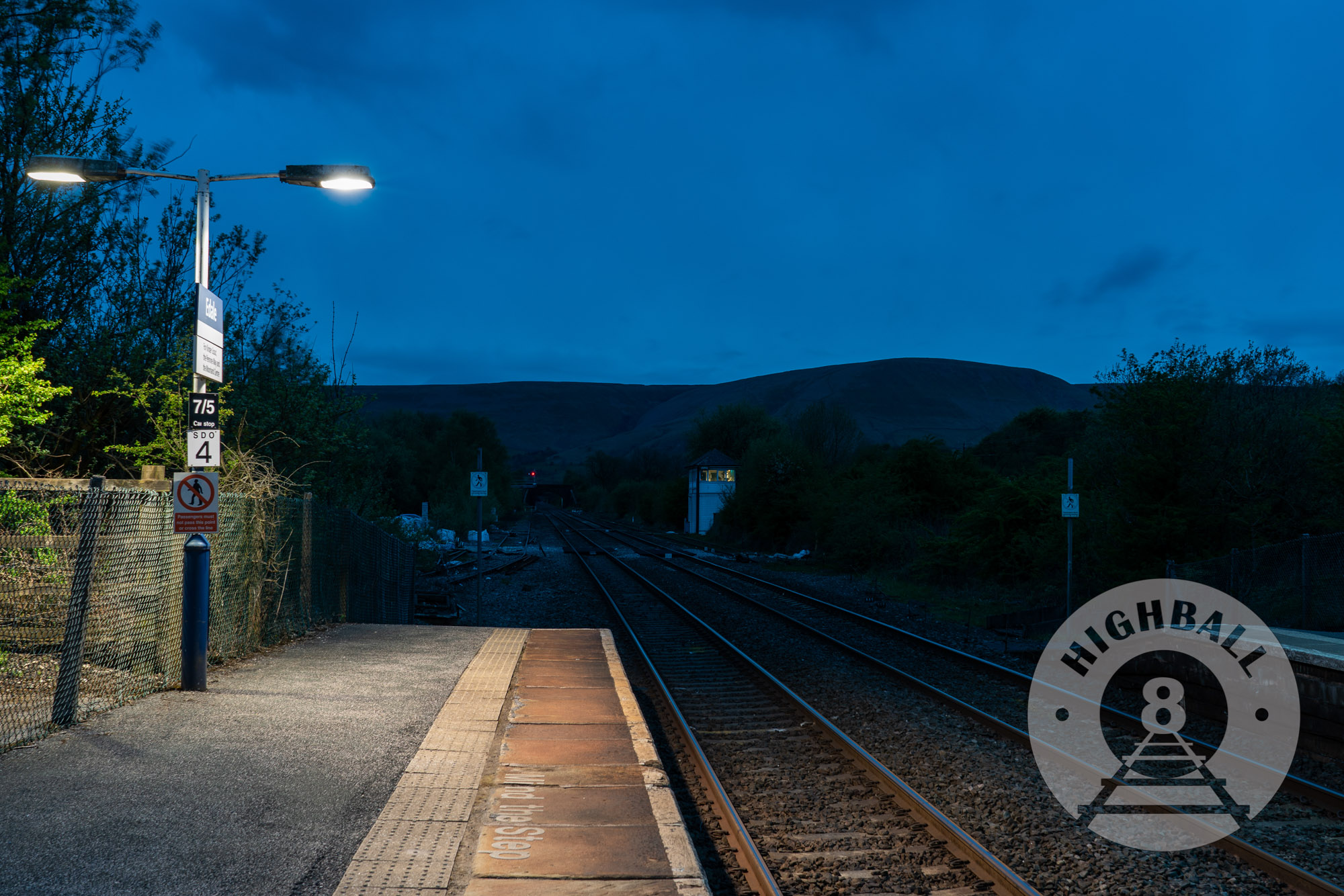
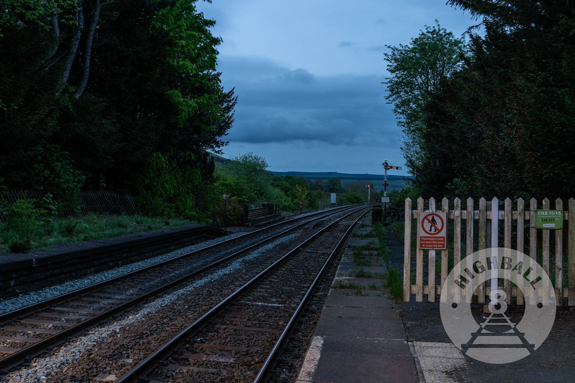
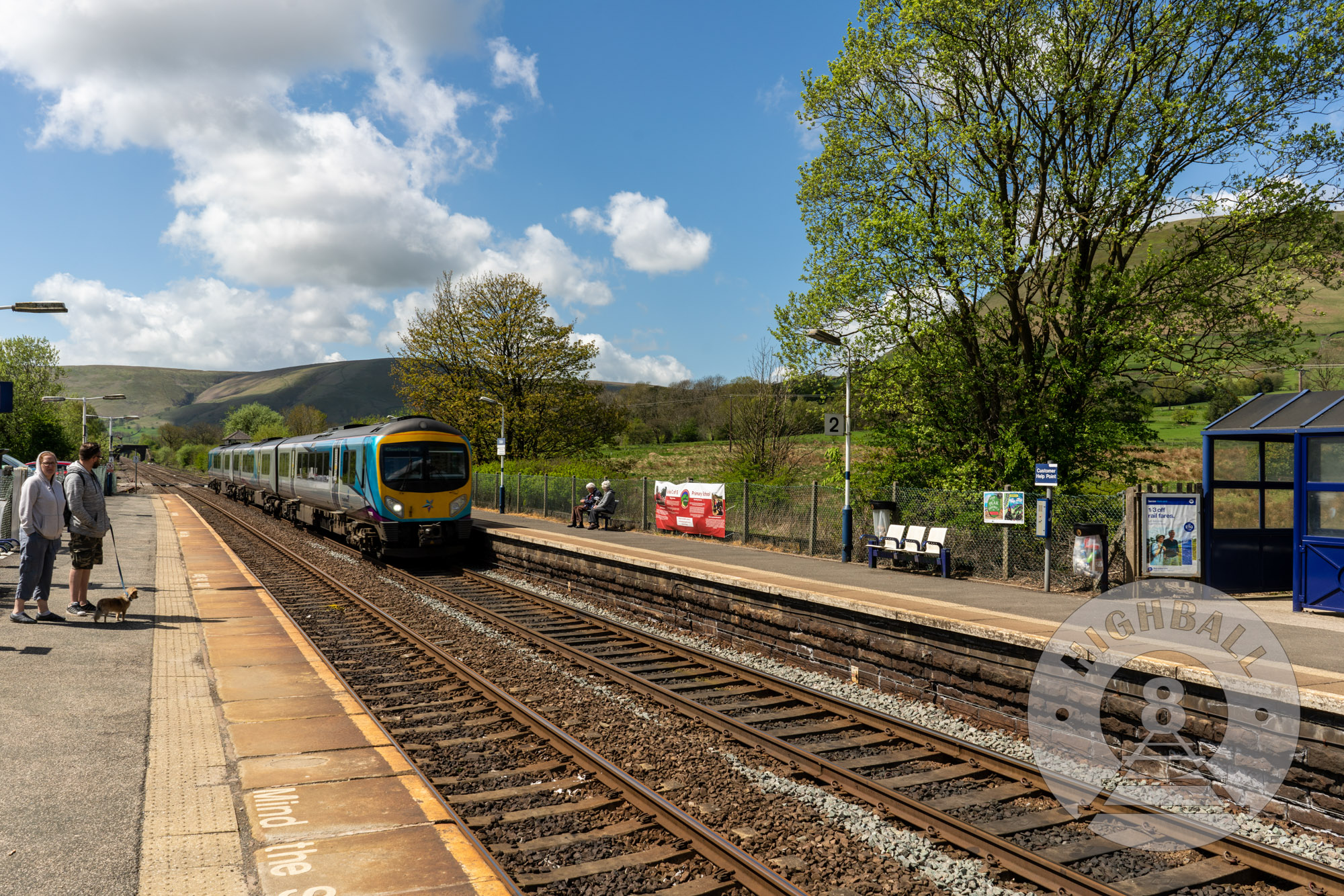
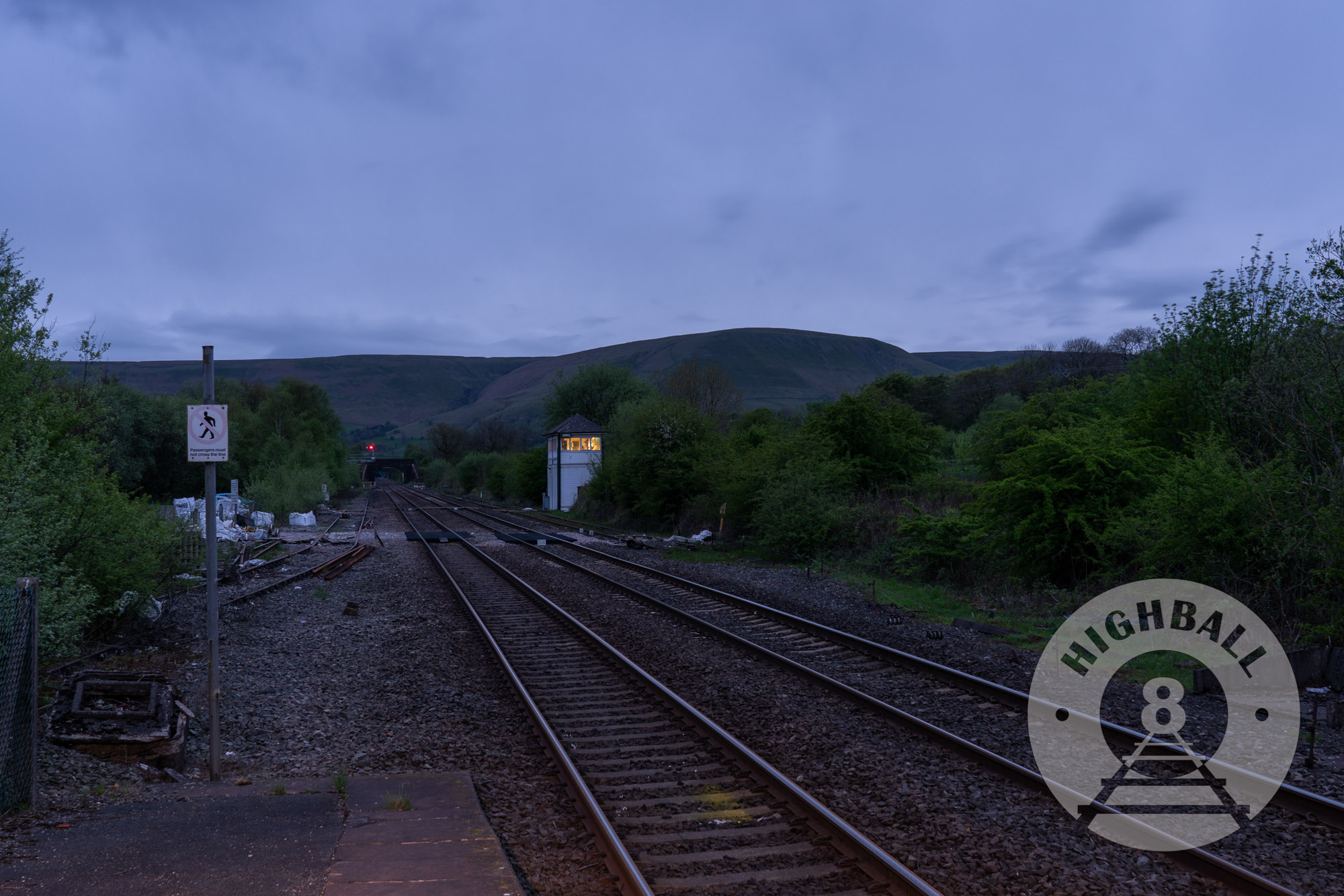
In the evening I took a short walk west along the foot of the valley, following the railway line. I saw my first live badger, but it got away before I could take a photo. I stopped off at Edale station to take some low-light, long-exposure photos and tried to get some pictures and video of trains, though there were not many due to the strike action.
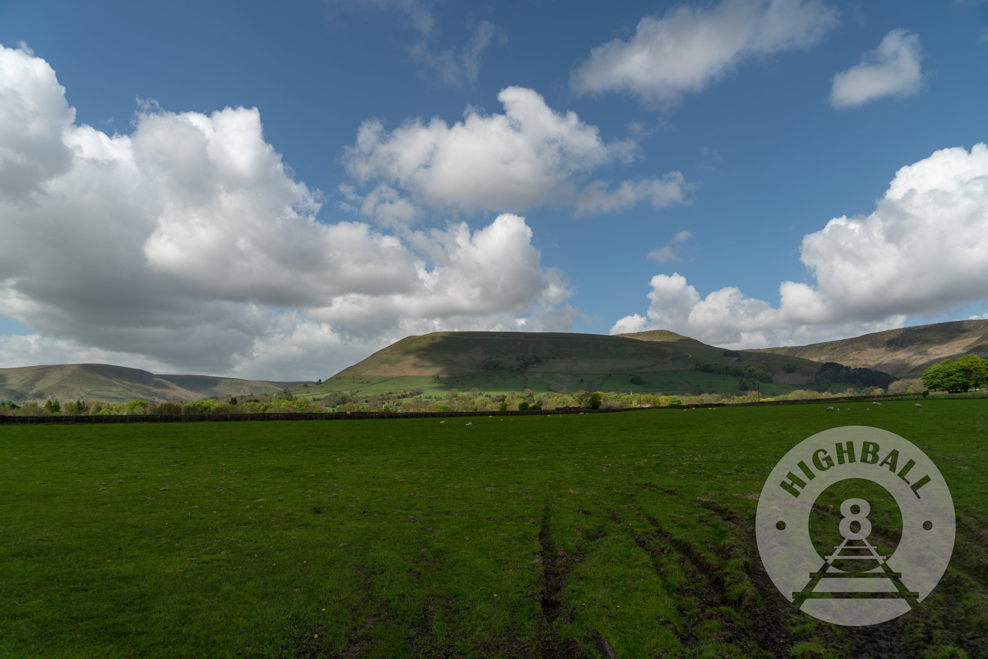
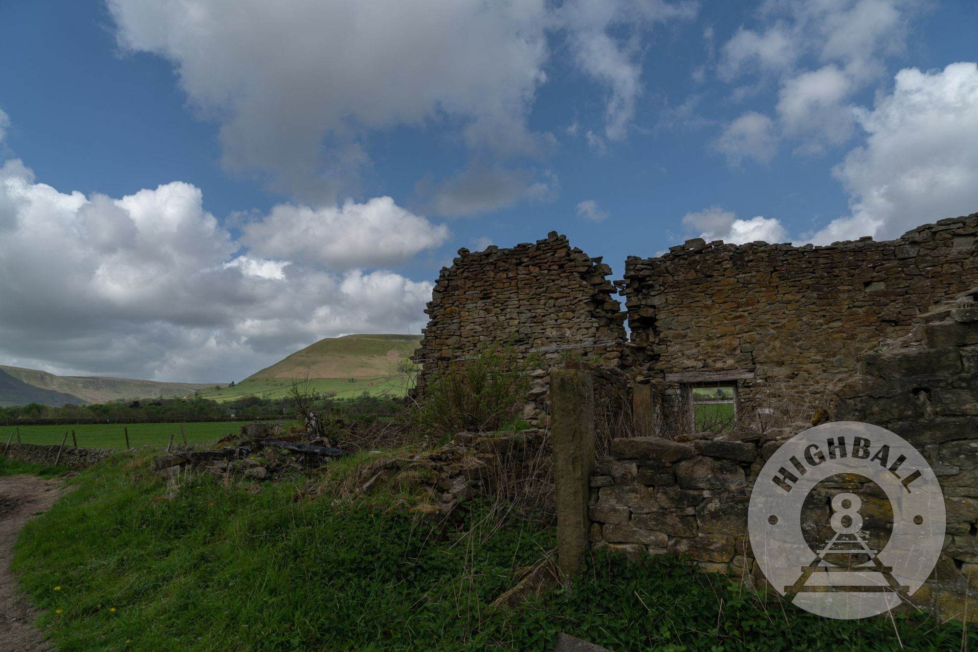
Breakfast at The Rambler was included with the cost of the room, and of course I had a full English breakfast. After packing up there was still some time before the train so I walked east along a public footpath east, and then crossed over the railway back down to Edale Road, completing the loop back towards the station. Luckily it was a sunny day and I got some nice photos and footage, including some great shots of the very steep heights we had descended from the day before. We took the Northern service back into Manchester, where we had time to hit up Marks & Spencer before getting on the Trans-Pennine Express service to Edinburgh.

